Climbing Via Timau Route On Mount Kenya: The Ultimate Guide
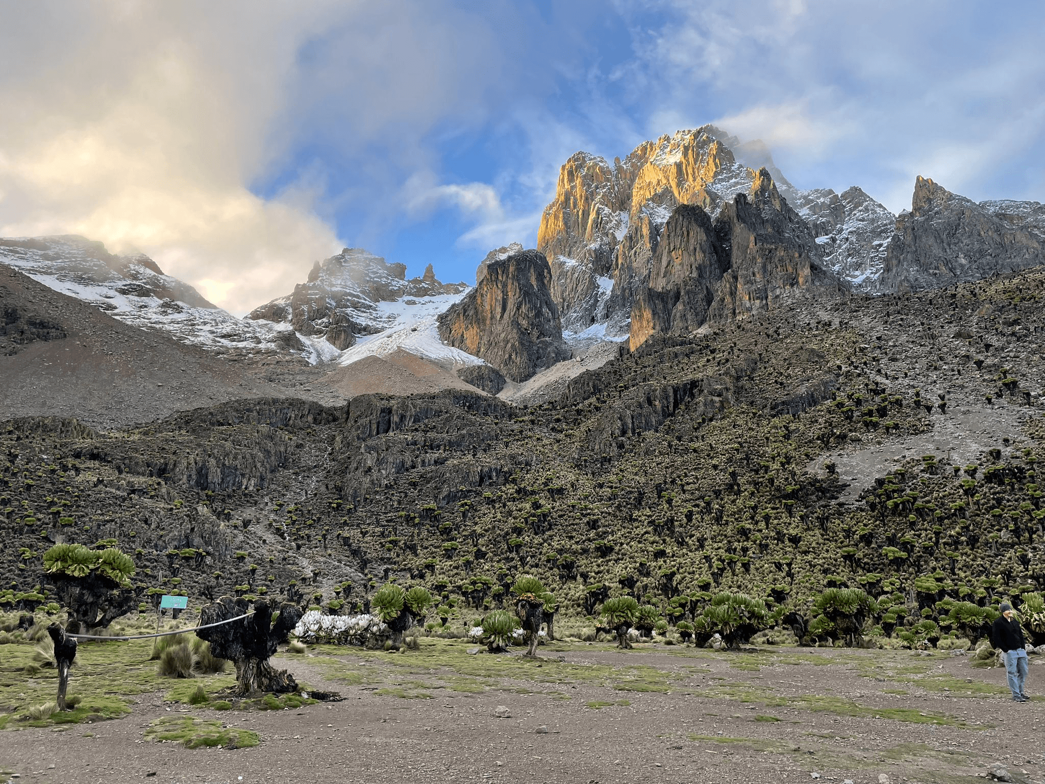
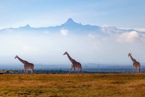
Approaching Mount Kenya peak from the North is Timau Route. The Timau trail follows a meandering route through the gentler northern slopes until they steepen at around 4200m. The slope is gentle and the peaks on Mount Kenya line up from east to west, meaning the views from the north give the impression you are entering an entire mountain range.
Timau route lies in a major rain shadow, and because of this, there is a very little forest on this side of the mountain. However, the low rainfall zone it generally makes for a drier trek.
Climbing the Timau Trail up to Lenana Point is unique in many ways, exuding a wonderful charm by instilling a sense of seclusion and calm into this excellent mountain hike. It brings to life some of the mountain’s moorland, lakes, and unusual volcanic rock formations.
Climbing Mount Kenya Packages
Explore the tours chosen and recommended by a multitude of travelers.
What Is Timau Route Best for: Open alpine scenery, off-the-beaten-path trekking
Trekking Mount Kenya Timau Route
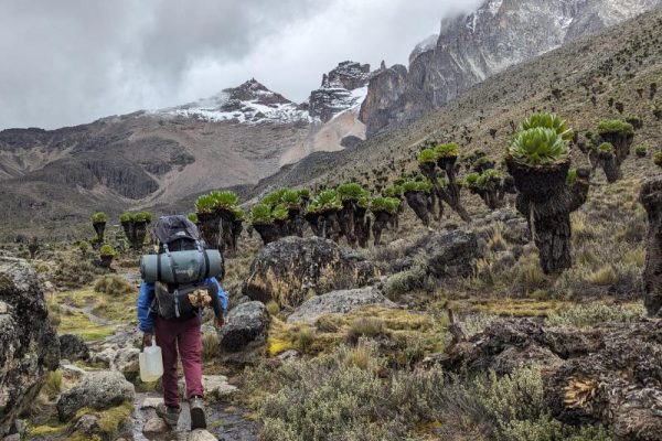
Gentle ascent through rolling moorland and open plains.
Historically used by colonial-era explorers and early climbers.
Excellent acclimatization due to gradual gradient.
Trek on the Timau Route, Mount Kenya
Explore the lakes and tarns along the climbing routes
Mount Kenya Timau Route Considerations
Fewer facilities; camping required in this area.
Windy and exposed terrain — good for photography but limited cover.
Timau Trekking Route Map
Timau Route Climbing Itinerary
Attempting the summit via Timau Route can be done in 8 days hiking. Approaching from the North of the mountain, Timau trekking trail follows a meandering route through the gentler northern slopes until they steepen at around 4200m. From here it drops abruptly into and across the Hinde Valley and the Nithi North River before climbing up to meet the Chogoria Route at Hall Tarns. Lying on a major rain shadow, there is a very little forest on this side of the mountain, in turn makes for a drier trek.